IN Brief:
- MOVIA Air is approximately 50% lighter than MicroVision’s standard industrial MOVIA platform.
- MOVIA Air Plus adds edge processing, optional camera input, real-time mapping, sensor fusion, and SLAM.
- The launch does not disclose range, field of view, power consumption, dimensions, qualification data, or pricing.
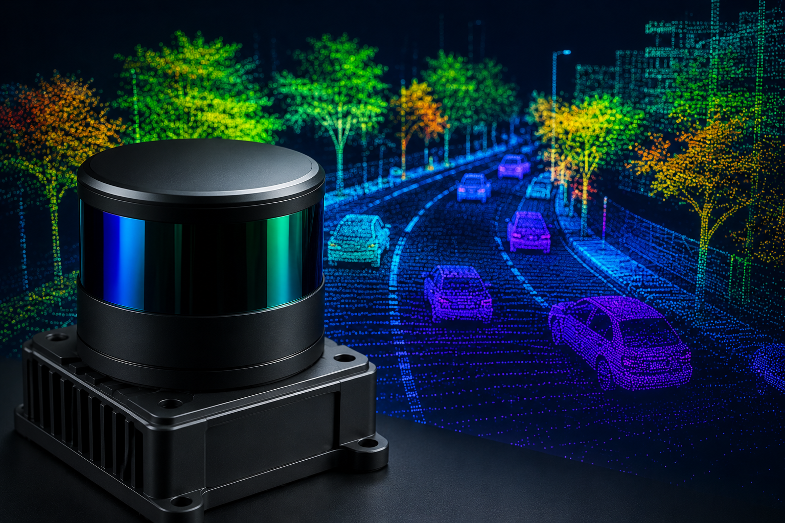
MicroVision has launched the MOVIA Air lidar family for unmanned aircraft, combining a lighter sensor platform with embedded perception functions and an optional edge-processing system for real-time mapping.
MOVIA Air is approximately 50% lighter than the company’s standard industrial MOVIA platform. It runs embedded algorithms for object detection, tracking, autonomous following, landing, obstacle avoidance, and environmental measurement, while retaining the underlying sensing approach used in MicroVision’s existing product family.
MOVIA Air Plus combines the sensor with an edge processor and optional camera. The integrated version supports real-time three-dimensional mapping, sensor fusion, simultaneous localisation and mapping, terrain understanding, autonomous docking, and onboard decision-making.
The distinction gives aircraft developers a choice between a sensor that feeds an existing compute platform and a more complete perception subsystem. The first approach preserves control over processors and software, while the second may reduce integration time and the bandwidth required to move raw point-cloud data elsewhere.
Payload mass is a central constraint in unmanned aircraft. Every sensor competes with batteries, communications equipment, structure, and mission payload for the available weight allowance. A lighter lidar can release capacity or extend endurance, although the complete installation still includes mounts, cabling, power conversion, processing, and thermal management.
Moving perception onto the aircraft also reduces dependence on a remote connection. Obstacle avoidance, landing, and autonomous navigation require low-latency decisions that cannot wait for a point cloud to be transmitted to a ground system and returned. Local processing keeps the control loop close to the sensor, but it adds electrical load, heat, software assurance, and cybersecurity requirements.
Lidar measures distance directly and can operate independently of visible-light illumination, making it useful alongside cameras. It is not immune to environmental limitations: rain, fog, dust, highly reflective surfaces, low-reflectivity materials, vibration, and rapid platform movement can all affect the point cloud. Combining lidar with camera and inertial data can improve interpretation, provided the sensors remain accurately calibrated and time synchronised.
MicroVision says MOVIA Air is intended for commercial, industrial, and defence applications, including inspection, delivery, emergency response, security, reconnaissance, precision agriculture, and resource exploration. Pre-launch partners include an industrial drone-delivery company and a resource-exploration provider, although the organisations and programme volumes have not been named.
The launch material does not disclose range, field of view, point rate, wavelength, accuracy, frame rate, power consumption, dimensions, environmental rating, interface options, or price. Those specifications will determine whether the weight reduction suits small multirotors, larger fixed-wing aircraft, or only platforms with a relatively generous payload allowance.
Mechanical integration will require more than a suitable mass figure. Aircraft vibration can disturb measurements and shorten connector or cable life, while aerodynamic loads and temperature variation affect mounting stability. The sensor’s coordinate frame must remain aligned with the aircraft and camera throughout operation if mapping and landing functions are to remain accurate.
Software interfaces will be equally important. Developers need documented outputs, deterministic timing, health monitoring, calibration tools, and a controlled route for updating perception software. A perception stack that changes behaviour after an update can affect the flight-control safety case even when the lidar hardware is unchanged.
MicroVision plans to demonstrate MOVIA Air Plus at the Joint Interagency Field Experimentation event, using live perception and real-time world mapping. It also intends to combine aerial MOVIA Air data with information from its longer-range IRIS lidar later in 2026, creating a shared view from airborne and ground sensors.
Those demonstrations should provide more useful evidence than the launch claims alone. Mapping stability, end-to-end latency, target tracking, environmental performance, and integration effort will show whether the product can move from evaluation into repeated operational use.
MOVIA Air establishes a lighter hardware platform and an optional onboard processing route, but adoption will depend on published specifications, environmental qualification, software support, and flight-test results. In autonomous aircraft, the useful product is not simply a lidar sensor; it is a perception chain that remains predictable while the platform moves through an uncontrolled environment.